E-navigation is the most coordinated gathering, integration, sharing, display, and analysis of maritime information on board and ashore by electronic means to improve berth-to-berth navigation and related services for safety and security at sea and marine environment conservation. It's built on software that has been well tested, developed, and is easy to use. Along with that it provides a variety of other navigation benefits, such as advanced capability for route and trip planning, which not only improves safety and ship efficiency but also reduces operator effort.
ECDIS is a significant maritime milestone, representing the industry's shift from paper to digital navigation. To remain in compliance with IMO rules, it is critical to recognise dangers and avoid over-reliance on this new technology. As a regulatory obligation, proper e-navigation training is required. Further, due to erroneous use of ECDIS can lead to mishaps, a shift in the operator's thinking is essential.
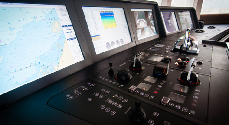
Having said that, ECDIS is an extremely complicated yet sophisticated system that comprises computer-based information system components along with navigation technology that aids in providing real-time representation of the navigator's vessel's location along with the surrounding environment. This technology uses various sensors attached to the system to map the information on a chart display system. Apart from displaying paper chart information on a computer screen, an ECDIS system also provides additional data required for navigation.