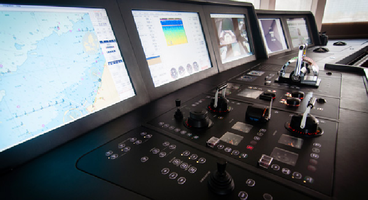
E-navigation is the most coordinated gathering, integration, sharing, display, and analysis of maritime information onboard and ashore by electronic means to enhance berth-to-berth navigation and related services for safety and security at sea and protection of the marine environment.
E-navigation represents a paradigm shift in how vessels navigate, communicate, and interact with port authorities and other maritime stakeholders. By integrating data from multiple sources — GPS, AIS, ECDIS, weather systems — it provides a unified operational picture for the officer on watch.
Key Benefits of E-navigation:
The system reduces navigational errors by presenting cleaner, standardized electronic chart information. Crew workload is significantly reduced through automation of routine monitoring tasks, allowing officers to focus on decision-making.
Shore-based authorities gain real-time situational awareness of vessel movements, enabling proactive responses to emerging hazards. Port state control and voyage planning become more efficient through seamless digital data exchange between ship and shore.
E-navigation also supports environmental goals by optimizing routing for fuel efficiency and helping vessels comply with emission control areas (ECAs) using accurate positional and environmental data.